Posts by MHS IT
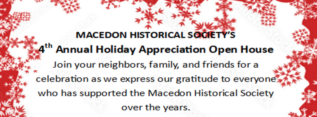
Holiday Appreciation Open House
Author’s Forum 2026

Sunday, November 8th from 2:00pm – 4:30PM Co-hosted by Macedon Historical Society and Gananda Rotary Come join us at the Macedon Center Meetinghouse. Local authors will share their stories, reading excerpts from their publications, and their journey to reach publication.
Read MoreIce Cream Social with the Biscuit Brothers
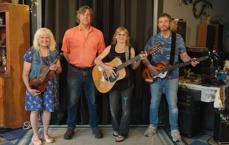
Fiddlers of the Genesee
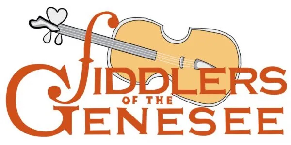
Friday, July 3rd, 2026, 7:00pm at the Canal Park Off Route 350 Hosted by the Macedon Historical Society and sponsored by Macedon Public Library Free admission
Read MoreConcert in the Park – Indigo Breeze
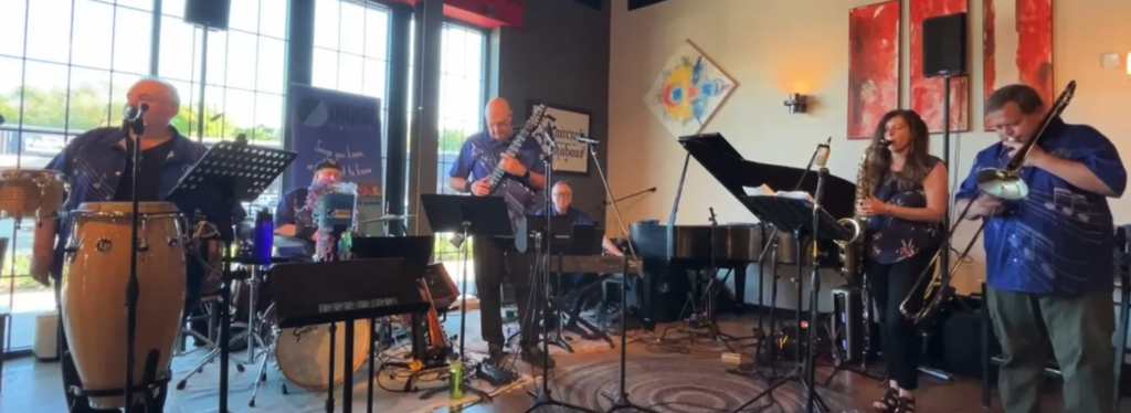
Thursday, September 17th 6:00 – 8:00pm Indigo Breeze A unique collaboration of straight-ahead jazz-influenced arrangements of familiar tunes from Latin musical traditions, R&B and Pop standards.
Read MoreConcert in the Park – Merry MisChief
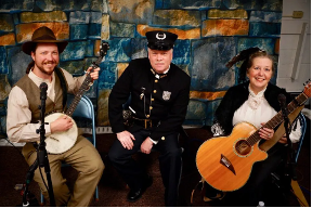
Thursday, August 20th 6:00 – 8:00pm Merry MisChief Merry Mischief an ensemble cast of talented musicians who are minstrels of mischief and each show is unique and adds personality, harmony, fun and a lot of entertainment to your next event! Together we will bring you back to a simpler time, relax you, make you tap…
Read MoreConcert in the Park – Mike Kornrich and Kubick’s Rubes
July 16th Mike Kornrich 6:00 – 6:40pm Mike Kornrich has been entertaining for Adults and Children. His Young adult program is Happy Music for Happy Kids. Kubick’s Rubes 7:00 – 8:30pm Kubick’s Rubes has been bringing our exciting blend of bluegrass, western swing, and country blues to the Rochester region for over 10 years. Come…
Read MoreConcert in the Park – Crossmolina
Thursday, June 18th 6:00 – 8:00pm Crossmolina Based in the Rochester, NY area, they are a passionate Celtic and folk band featuring Laurie on violin, Dave on bass, Annie on guitar, and Bill on vocals. Join us for lively performances that celebrate the rich traditions of Celtic and folk music. Feel the energy and…
Read MoreThree Freedom Seeking Families
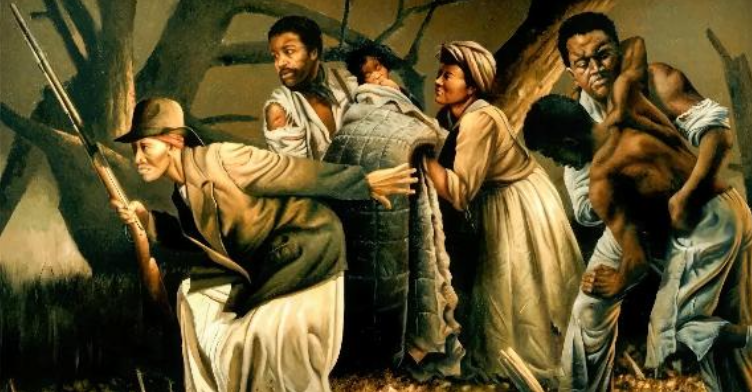
A presentation by Marj Perez. Safe Haven Within the Circle of Farmington Friends: Three Freedom Seeking Families, 1800 – 1865. The Farmington Quaker Community was an integral hub in the network created to assist Freedom Seekers on the journey out of slavery. The journeys of Aaron and Betsey Brister; Anna Riggs Woodlin and her five…
Read MoreBrewing Conflicts
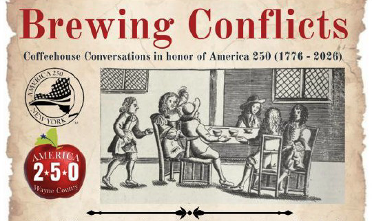
Join in the conversation and travel back in time, 250 years or more, to a coffeehouse of colonial America, where these venues became hotspots for intense discussions among the colonists. This event invites guests to engage in conversations with historical characters, to explore the brewing conflicts of the era and to discover the early popularity…
Read More