Phelps & Gorham Purchase Relative to Macedon
May 10, 2018
This article is contributed by Dave Gardner, member of the Macedon Historical Society:
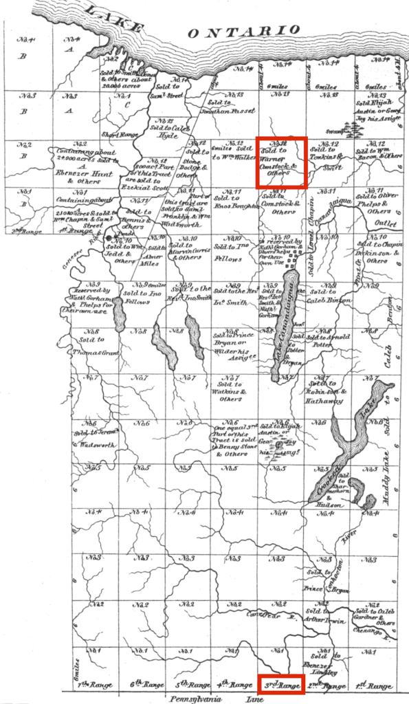
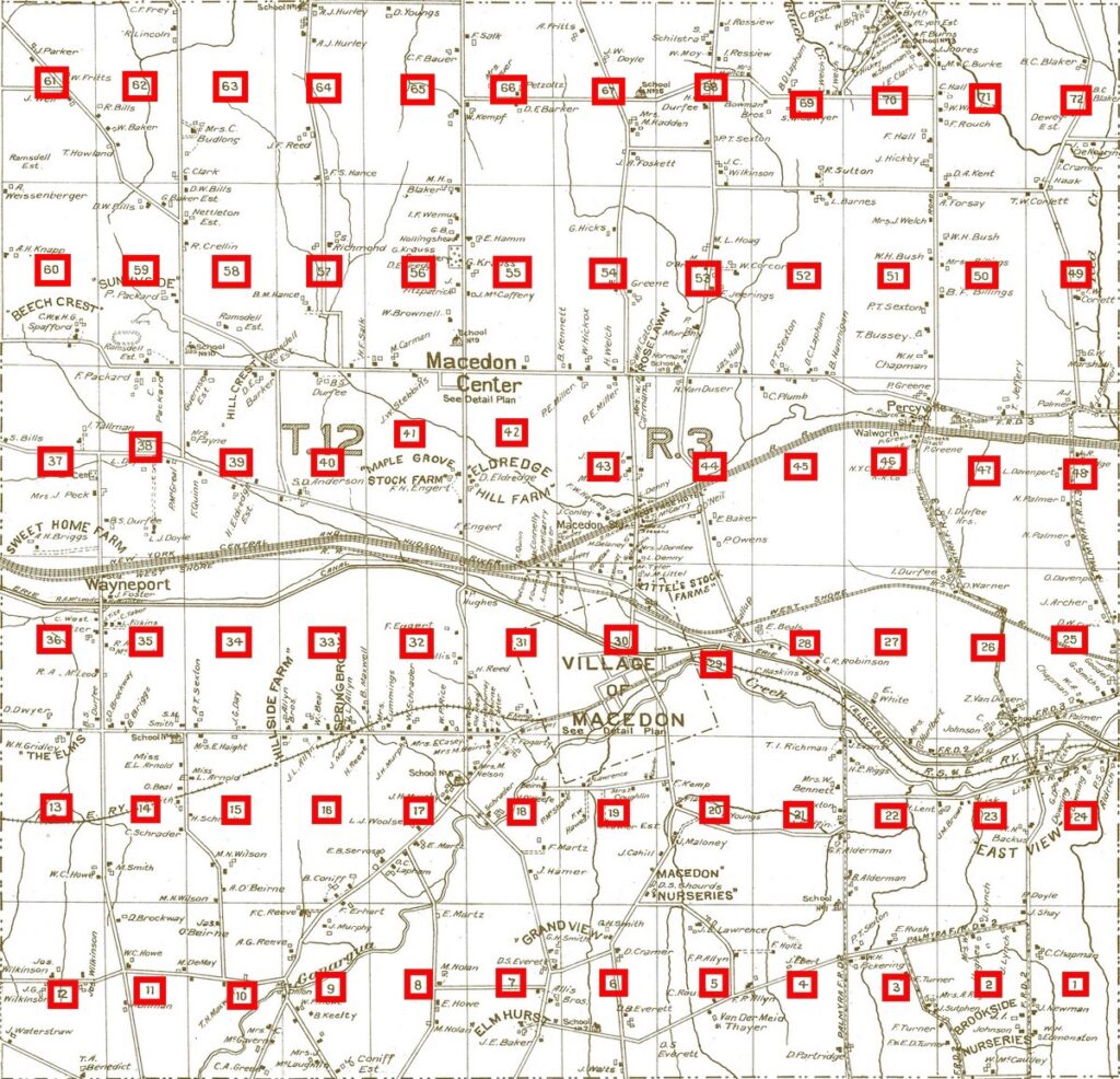
The Phelps & Gorham Purchase took place in July, 1788. Oliver Phelps and Nathaniel Gorham bought approximately 2,250,000 acres of land from the Indians. This land extended west from the pre-emption line and north from the Pennsylvania state line to Lake Ontario. The land was surveyed into six mile square townships that were laid out in a grid of ranges and tracts. The ranges ran from east to west and the tracts were from south to north. The township that eventually became the Town of Macedon consists of Tract 12 in Range 3. The township was divided into 72 lots of 320 acres. The lots were numbered in a zig-zag pattern starting in the lower right corner of the township.