Maps
Comparing 1834 and 1874 Village Maps
This comparison shows the extraordinary growth of the village in just 40 years. Click on photos to enlarge. 1834 Village Map 1874 Village Map
Read More1904 Maps
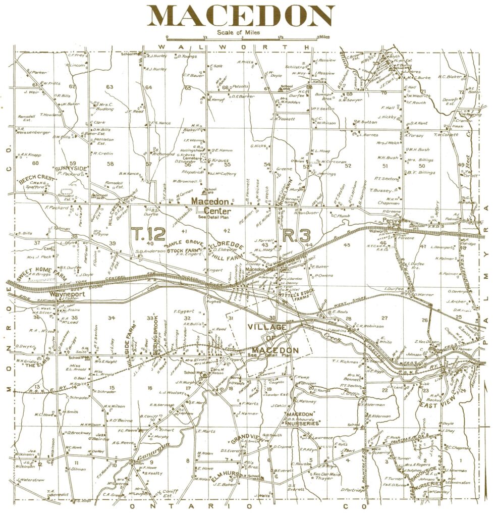
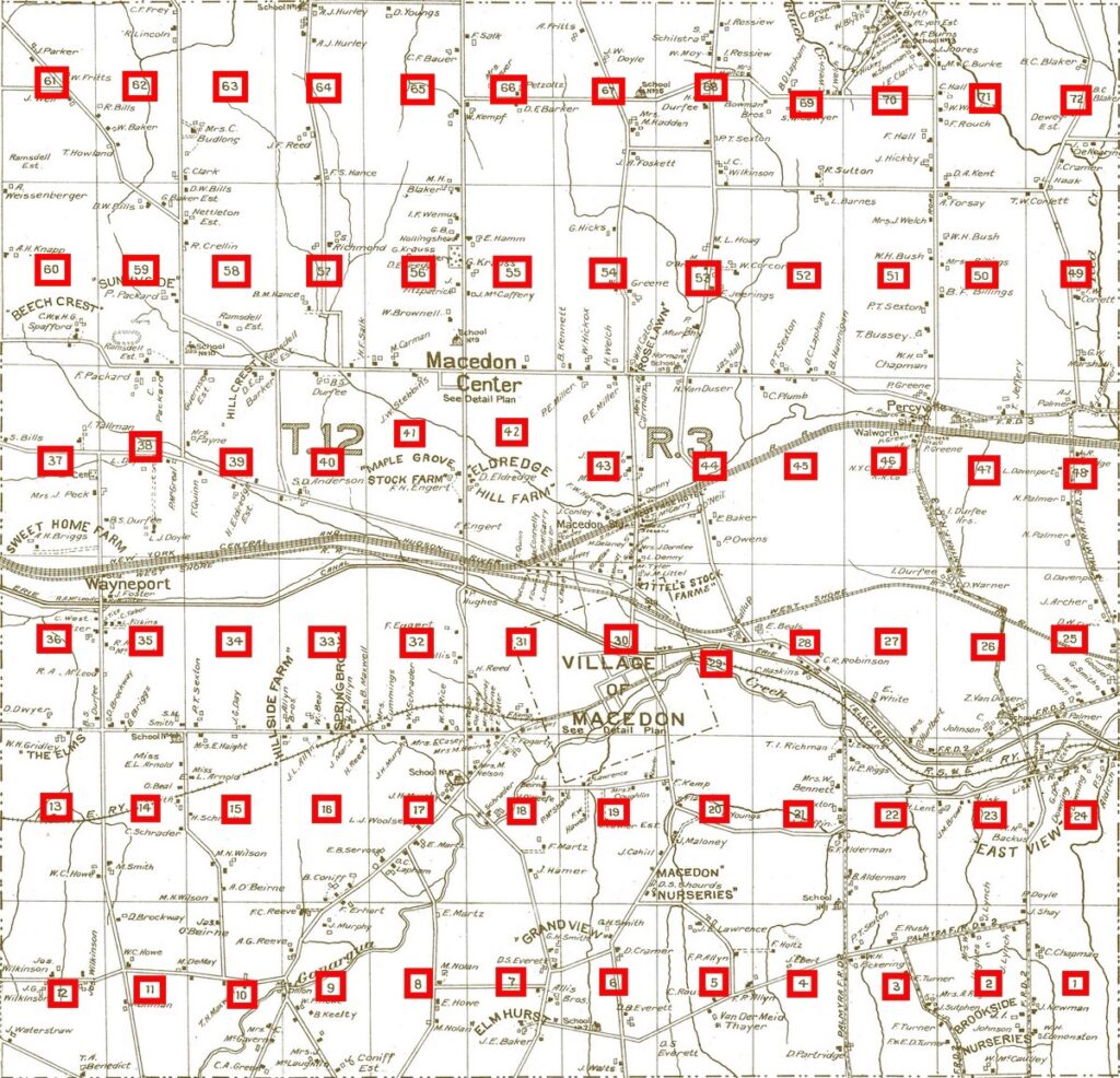
Click on photos to enlarge 1904 Town Map 1904 Village Map 1904 Macedon Center Map
Read More1874 Maps
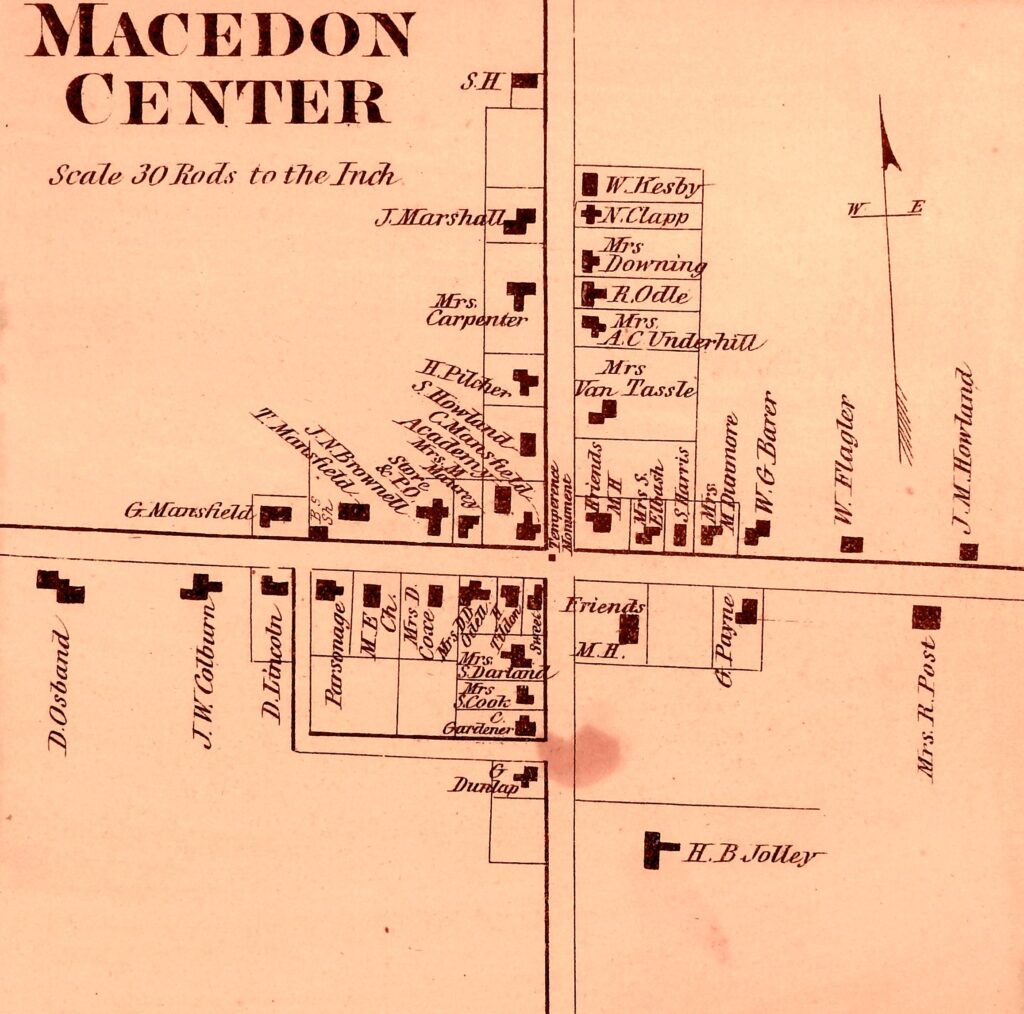
Click on photos to enlarge 1874 Town Map 1874 Village Map 1874 Macedon Center Map
Read More1853 Town Map
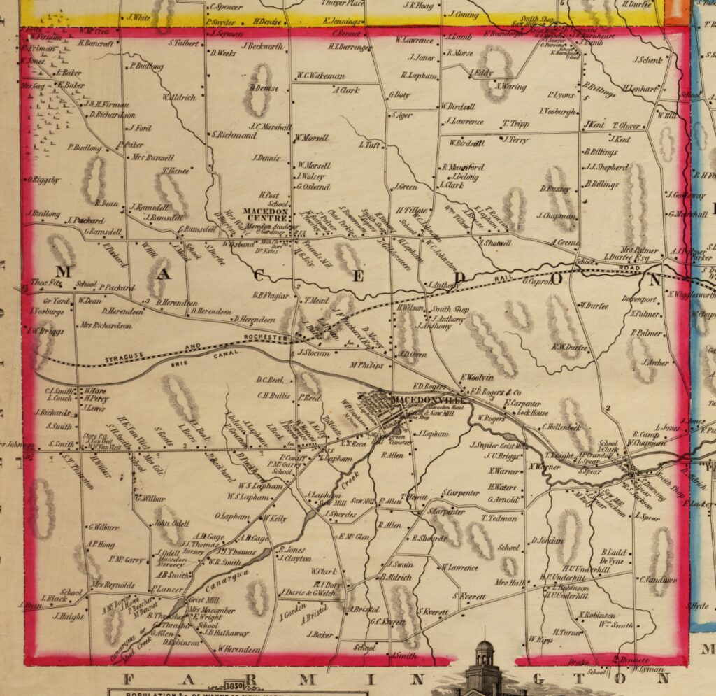
Click on photo to enlarge
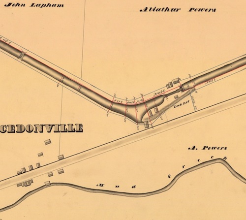
Read More1834 Village Map
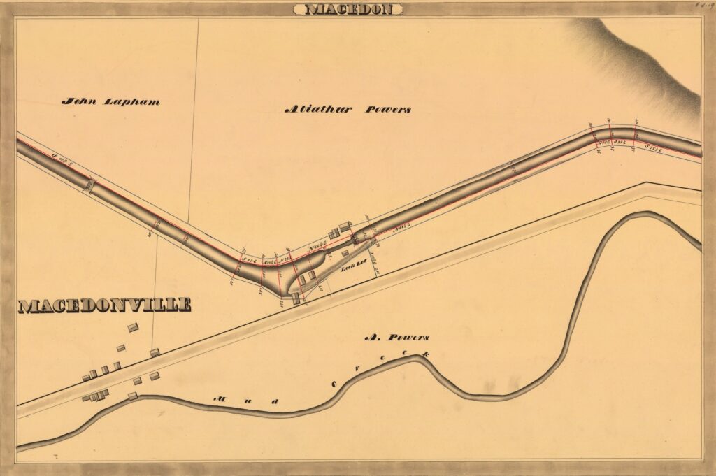
Click on photo to enlarge
Read MorePhelps & Gorham Purchase Relative to Macedon
May 10, 2018This article is contributed by Dave Gardner, member of the Macedon Historical Society: The Phelps & Gorham Purchase took place in July, 1788. Oliver Phelps and Nathaniel Gorham bought approximately 2,250,000 acres of land from the Indians. This land extended west from the pre-emption line and north from the Pennsylvania state line to…
Read More